
Platform Overview
Visit: gps2.lmstracking.com.au
Then enter your login details provided via the account setup email or login sheet from LMS.
Logging in
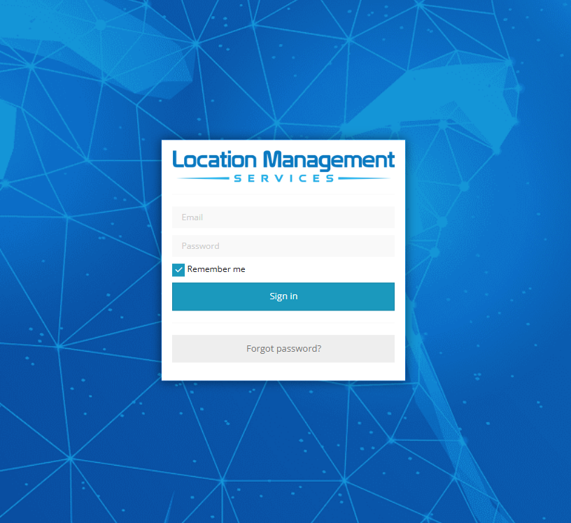
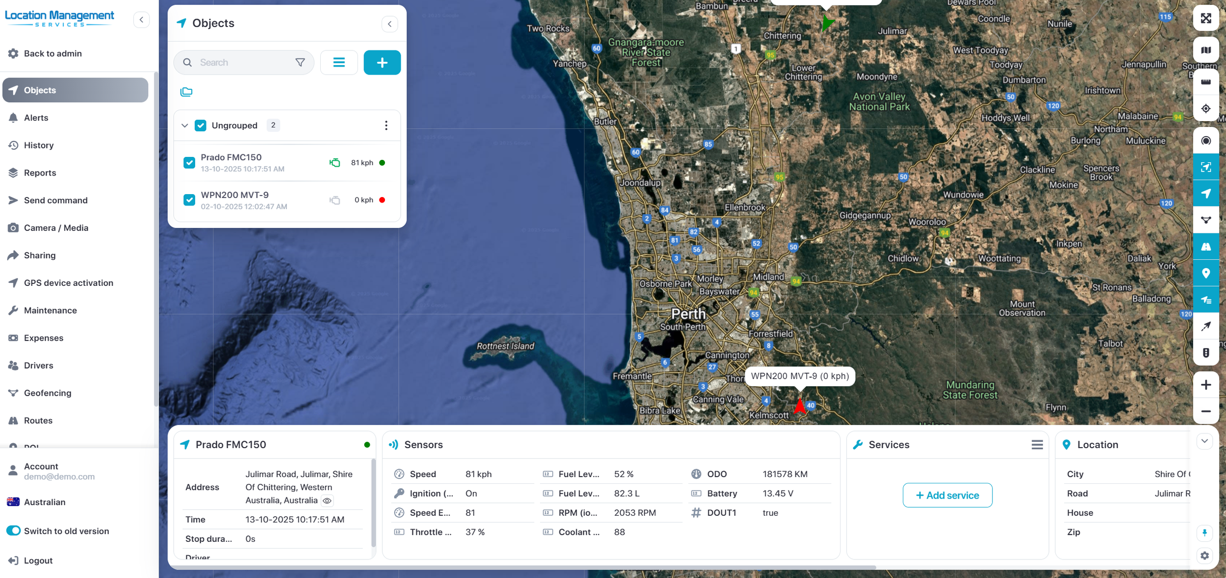
After logging in, you will be redirected to the platform main page. This page varies depending on whether you're an admin operator or a basic user.
Users will be directed to the map page and operators will be directed to the admin console.
The map page allows access to common tracking features and settings, monitors object position on the map and gets detailed information such as speed, address, coordinates, history and more.
Landing Page
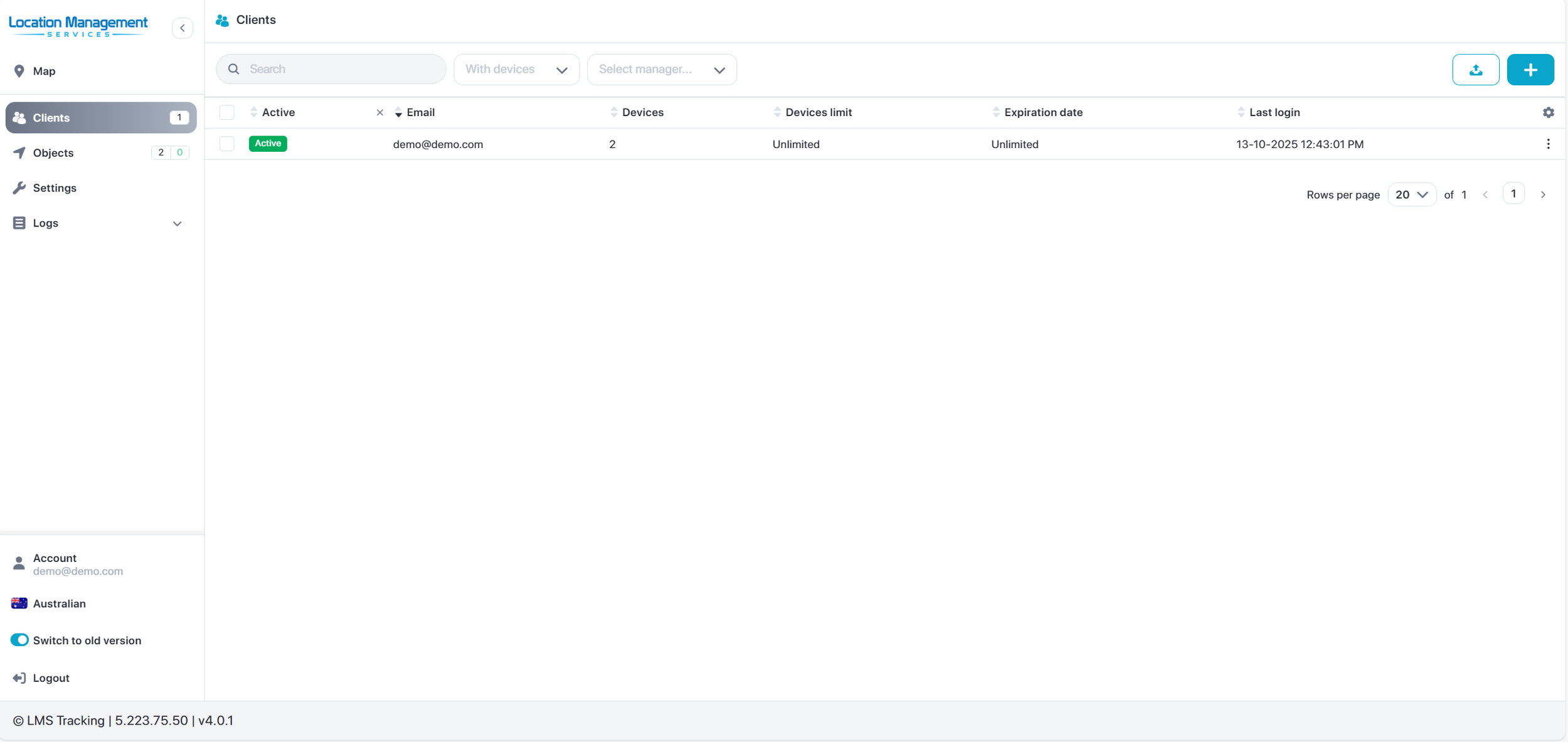
Admin Control Panel
The main use for the operator control panel is to manage sub accounts and objects.
This is very useful for creating employee sub accounts or client accounts for hire companies. You can control the account permissions, object access and more
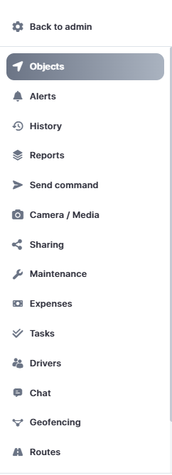
Menu Bar
Menu is used to quickly access frequently used tools, settings and display screens.
You can easily switch between your main map displaying objects, your overview screen containing useful metrics or the admin page for operators to manage the fleet and clients.
You can easily change your language by clicking the flag at the bottom left corner.
Note: The menu bar options may vary depending on your access level and permissions.
Map Controls
1. Full screen mode - hides all tools and shows only GPS devices on the map
2. Change map - change the map to streets, satellite and more
3. Measure - Measure distance
4. Address - search for an address or location
5. Clusters - Group close objects in clusters
6. Fit object - Fit all objects on screen
7. Objects - show or hide objects on the map
8. Geofences - show or hide geofences in the map
9. Routes - show or hide routes in the map
10. POI - show or hide POI in the map
11. Show names - show / hide object names above the icon on the map
12. Show tails - show or hide objects’ tails on the map
13. Live Traffic - Shows traffic flow (Google Maps)
14. Zoom - Zoom in or out on the map

Object Widgets
When you select and object, a widget bar will be displayed showing relevant information for that object. This bar is customisable and can show object address, active sensors, service schedules and more.
